|
The Geology of Texas - Vol. 1
GRAYSON FORMATION
Nomenclature. --- The formation was first called Grayson by Cragin
(325, pp. 40, 43) in 1895. In 1898 Hill and Vaughan (795, p. 236) applied
the name Del Rio to its southward extension in the Rio Grande Valley near
Del Rio.
Taff (1575, pp. 277-283), like some later writers, considered the
scattered limy ledges in the upper Grayson in north Texas to be the
equivalent of the Buda limestone farther south. Some earlier writers
correlated the Del Rio clay in south Texas with the Main Street limestone
in north Texas, and the Buda in south Texas with the Grayson marl in north
Texas. These early correlations led to the separate naming of the Grayson
and the Del Rio. However, both the basal Grayson flaggy zone, with
"Acanthoceras" aff. cunningtoni Böse, Stoliczkaia
spp., and abundant Turrilites brazoensis, and the overlying
clay, seem essentially identical from Red River to the Rio Grande; and in
this event Cragin's name has priority. Taff has expressed a similar
opinion; in his reports the Grayson was called "Vola clay" and
the Buda "Vola limestone."
Roemer, without describing the clay, had collected from it in
southwestern Hill County west of Aquilla, and had described Exogyra
arietina (1331, p. 68, pl. 8, figs. 10 a–e) from the Waco Indian
camp west of New Braunfels. B. F. Shumard first described the "Exogyra
arietina marl" (1464a, pp. 583, 586) from the base of Mount
Bonnell near Austin, and correctly placed it beneath the Austin limestone
with Eagle Ford at the base and above the "Washita" (=
Georgetown) limestone. Very curiously, he over-looked the Buda. In the
older literature the Grayson is often called the Exogyra arietina
clay" or "marl."
Literature. --- Oklahoma: Bullard, 174; Honess, 839, 840. Central
Texas: Cragin, 325; Carpenter, 197; Hi]], 772, 788, 803, 822; Winton,
1791; Roemer, 1330, 1331; Taff, 1575; Shumard, 1464a. Rio Grande
Embayment: Hill and Vaughan, 795. Trans-Pecos Texas: Böse,
129; Hill, 722; Udden, 1626, 1648. Paleontology: Alexander, 31;
Adkins and Winton, 9; Adkins, 10; Böse, 133, 1341 Cragin, 325;
Plummer, 1237, 1238; Roemer, 1331; Udden, 1628.
Synonyms. --- Gelbliche
Kalkmergeln, Roemer, 1331, p. 16; Roemer, 1330, p. 184. Exogyra
arietina marl, Shumard, 1464a, pp. 583, 586; Marcou, 1042, pp. 86-97. Exogyra
arietina clays: Hill, 755, p. xiv, xxiii; Hill, 772, p. 517. Exogyra
arietina beds: Hill, 788, pp. 318, 319, 321-322. Exogyra arietina
sub-division: Taff, 1575, pp. 275-277. Vola limestone and marl:
Taff, 1575, pp. 277-283. Grayson marl: Cragin, 325, p. 43 (type locality:
cuts of D. B. & N. 0. Ry., in southeastern part of Denison) ; Hill,
803, pp. 245 (fig. 29), 246 (fig. 30), 247, 286-288. Del Rio clay: Hill
and Vaughan, 795, p. 236 (type locality: a conical butte, Loma de la Cruz,
and surrounding clay lowlands 2 miles south of Del Rio).
Stratigraphy and contacts. --- Throughout Texas the Grayson
is underlain, concordantly and apparently conformably, by the Main Street
formation or member. In southeastern Oklahoma the thinned Grayson lies
above the Main Street ("Bennington") limestone and below the
Woodbine ("Silo"). Some confusion in correlation has arisen over
the thin transitional zone, consisting of alternating marls and marly
limestones, at the base of the Grayson in central Texas. These strata are
paleontologically most like the underlying Main Street limestone, because
of an abundance of Kingena and Turrilites brazoensis Roemer.
They are also marked by Stoliczkaia spp., "Acanthoceras"43
aff. cunningtoni Bose (a fossil practically restricted to this
level), and Exogyra arietina, which is abundant in both Main Street
and basal Grayson.
In north-central Texas, north of latitude 31° 30', near Waco, the Grayson
is overlain, apparently unconformably, by Woodbine. South of McLennan
County, it is overlain by Buda, the nature of the contact being unknown.
In McLennan and Bell counties, at the outcrop, the Buda is of intermittent
occurrence, and, where it is absent, the black shales at the base of the
Eagle Ford flags rest unconformably on the Grayson, with a pebble and
phosphatic conglomerate at their base. At a locality near Cedar Mills,
Grayson County, the Grayson has been reported absent and the Woodbine
rests directly on the Main Street limestone. In southern Oklahoma, east of
longitude 95° 30', the Grayson is apparently absent, and the Woodbine
overlies a beveled Comanche surface ranging from Grayson down to Goodland.
In Trans-Pecos Texas and northern Coahuila, the Grayson is absent over a
considerable area, in which the Buda rests directly en the Georgetown. In
Reeves and western Pecos counties, the Grayson thins northwards and
disappears. In the southern Edwards Plateau, between San Antonio and Del
Rio it thins northward and disappears, as it probably does also in
southern Oklahoma.
Throughout Texas, the Grayson is underlain, concordantly and apparently
conformably, by the Main Street formation or member of the Georgetown
limestone. The "Acanthoceras" cunningtoni zone appears to
be transitional between the two formations.
Facies.--- (1) Throughout its extent in southern Oklahoma,
central Texas, and western Trans-Pecos, Texas, the Grayson is essentially
of the clay facies, with subordinate amounts of friable sandstone flags
and siltstone locally, especially near its top. (2) In western Val Verde
and Terrell counties and in northern Coahuila, the Gray-son (particularly
in its upper part, on crossing the Terrell high axis) consists of
interbedded, thin, calcareous flagstones and limy marl, containing
ammonites and other fossils. In this region and in the Big Bend, many of
these flags are siliceous, and contain vast numbers of the large
arenaceous foraminifer, Haplostiche texana. Over the Terrell arch
and southwards into northern Coahuila (as near Remolino, El Macho, La
Bahia), the Grayson is mostly fossiliferous limestone flags (compare also:
578, p. 1427).
Areal outcrops and local sections.--- Honess (840, vol. III, p. 92)
states that in Bryan and western Choctaw counties, Oklahoma, the Woodbine
overlaps onto Comanchean formations, and is in unconformable contact with
the Main Street ("Bennington") limestone and with the Goodland
limestone at the eastern line of McCurtain County. The Grayson is
therefore absent at the outcrop in southeastern Oklahoma. In Bryan County,
Oklahoma (Taff, Atoka folio No. 79, 1902) the Grayson marl is present but
thins to the east; but, at a complete exposure 1 mile north of Durant, it
is 50 feet thick (1790, p. 28, footnote). It is exposed at localities 2 to
3 miles east and northeast of Woodville, Marshall County, Oklahoma (174,
p. 47).
Red River valley.---The easternmost outcrop of the Grayson formation in
Texas is in northeastern Grayson County. On Pawpaw Branch, 3 miles east of
Stillhouse Ferry, the Grayson, about 27 feet thick, consists of blue-gray
marl alternating, particularly near the top, with thin seams of grayish
nodular limestone (177). The topmost limestone seam is overlain by thin
blue-gray marl, and black, bituminous clay, which grades into yellow
weathering Woodbine sand. At the road crossings of Sandy Creek just east
and north of Cedar Mills, Bullard records the Woodbine in direct contact
with the Main Street limestone, the Grayson marl being completely missing.
However about a half-mile upstream from Cedar Mills, on Sandy Creek,
Bullard records a normal thickness (25 to 30 feet) of Grayson, with an
irregular upper contact. In a branch of Little Mineral Creek about a mile
south of Fink, Bullard records about 29 feet of Grayson, consisting
basally of clay marl, and, at the top, marl with a few thin Iimestone
seams. At a locality 1 mile south of Bloomfield, Cooke County, the Grayson
is 32 feet thick and consists of gray and white marl with some thin strata
of white chalky limestone (189, p. 40).
Red River to Brazos River.---The best Denton County exposure is in a tall
bluff 3 miles northeast of Roanoke at the edge of Denton Creek valley,
where the Grayson is complete with both contacts exposed (1789, p. 73;
1791, p. 30). The section consists of about 80 feet of gray or yellowish
marl, containing in the top eleven limestone ledges each less than a foot
thick. These upper ledges in the Grayson are correlated with the Buda by
Winton, and at a locality only a few miles south of the Grayson bluff, the
uppermost hard limestone ledge is called Buda by Hill (822). About 50 feet
of middle and upper Grayson is exposed near the highway 2 miles southeast
of Burleson; it consists of gray and yellowish marl. At the Aquilla Creek
crossing 1.6 miles west of Peoria, the Grayson-Woodbine contact is
exposed. Here the Grayson is a gray-blue clay with Pecten and Gryphaea
mucronata Gabb, and the basal Woodbine is a lustrous black shale with
ferruginous nodules, and, basally. a thin sand and iron layer. At the R.
E. Finley well 1.5 miles west of Aquilla, southern Hill County, the
complete Grayson, about 75 feet thick. is exposed as a clay containing
pyritic micromorphs and, near its top, thin limy layers. In McLennan
County, north of the Brazos, there are numerous exposures of the upper
Grayson in con-tact with the basal black shale beneath the Acanthoceras
flags of the Eagle Ford (11, pp. 52-58).
Brazos River to Colorado River.---Along the Bosque escarpment in southern
McLennan County, there are several exposures of the Grayson-black shale
contact. These show the upper half of the Grayson, with abundant fossils.
At Bosqueville, and from the Bell-McLennan line southwards to a point east
of Salado, the Buda is intermittently present at the outcrop between the
Grayson and the basal Gulf black shale; in the intervening portions along
the contact, the Buda is absent at the contact (11, pp. 58-67; 16, pp.
48-59). A significant locality 2 miles south-southwest of Moody shows
rolled and decomposed Buda limestone boulders, but no solid strata of
Buda, at this contact (16, p. 52) ; a short distance farther south, solid
Buda appears. The intermittent Buda is clear evidence of unconformity at
this level. In southern Bell County, about 75 feet of Grayson is exposed;
a complete section exists on the south bank of Leon River, 2.5 miles
southeast of Belton. On the east bank of Lampasas River, about 4ľ miles
east of south of Belton, most of the Grayson, including the basal
transition zone, is exposed. From Salado southwards, the main body of the
Buda is present at the outcrop, overlying the Grayson. At localities along
Smith Creek, 1 to 2 miles east to northeast of Georgetown, a complete
section of Grayson is exposed. The entire formation is clay, with flaggy
layers near the top. The clay contains ferruginous nodules, pyrite,
gypsum, and some ironstone. A complete section is exposed at the concrete
bridge just above the mouth of Barton Creek in South Austin. The upper
part of the formation and the Grayson-Buda contact occur at several
localities along Shoal Creek. In Travis County the Grayson practically
lacks the pyrite micromorphs found in the Bell-McLennan county area and
the Haplostiche texana which is abundant in West Texas, but has
abundant Exogyra arietina in the basal transition zone and the
lower half of the formation, and abundant Gryphaea mucronata in the
upper part.
Colorado River to Del Rio.--- In Bexar County (888, p. 770; 1402, p.
110) the thickness of the Grayson is 65 to 78 feet; in Medina County, 60
feet (992, p. 39) ; in Uvalde County (1686, p. 7; 1681, p. 253), 50 to 137
feet; in the Brackettville region, 75 feet; in Maverick County, up to 279
feet (1681, p. 253) ; and at Del Rio, about 200 feet (1324, p. 15). Near
San Antonio the formation consists largely of clay; on drilling it caves
badly, requires casing, and is therefore known to drillers as the
"mud hole." Its basal part contains some thin limy flags. The
clay also contains gypsum, pyrite, and ferruginous masses; it weathers to
a narrow strip of mesquite-covered, hilly topography, or else to valleys.
Thinned Grayson in lower Pecos Valley.--- From about 200 feet in the clay
flats south and east of Del Rio, the Grayson thins rapidly in all
directions. In the hills north of Del Rio it is 50 feet thick or less. To
the west it thins to about 30 feet at Comstock, to 15 feet at localities
southwest of Shumla, and to nothing at a railway cut 4 miles west of
Shumla and in exposures near Langtry. North of Del Rio the Grayson thins
rapidly, and in the Rock Springs area is represented by 15 feet or less of
calcareous seams lying between the Georgetown and the thinned Buda
limestones. West-ward from Langtry the Grayson thickens.
From Del Rio it outcrops in a straight band running a little west of south
for 45 miles to Tinaja Azul, about 6 miles south-southwest of Remolino,
Coahuila, where' it disappears. Over this area it gradually thins
southward, until the Georgetown and Buda come to lie in concordant
contact. The upper zone of the Grayson, marked by an abundance of Exogyra
cartledgei, as seen near El Sauz, Goodwin Ranch, and Remolino,
persists, and the basal zones drop out, whether by overlap or by change of
facies is unknown. In Dumble's Zorro Creek section (480, p. 377), in
Coahuila near the Rio Grande, the Grayson, about 110 to 140 feet thick and
containing Pecten, Exogyra arietina Roemer, Exogyra drakei Cragin,
and Haplostiche texana (Conrad) in blue, yellow, and red clays,
with bands of sandy flagstones and concretionary limestones, is like that
at Del Rio. The thinning is a result of the northwest-trending Terrell
arch, which runs from the Burro Mountains uplift (dome) toward the
Marathon basin. West of this high axis, in Brewster County, the Grayson
rapidly thickens.
In the Grayson (Del Rio) of the Guajes Valley, east side of the Sierra de
Encantada about 100 km. south -southeast of Boquillas in northern
Coahuila, C. L. Baker and R. B. Campbell have collected abundant
rhynchonellid brachiopods together with Kingena cf. wacoensis, Exogyra
arietina (?), and limonitic Turrilites.
Big Bend.--- In Dryden Canyon, just north of the town of Dryden, the
Grayson, consisting of 9 feet of loose, brownish-yellow clay, full of Exogyra
arietina Roemer, can be seen to pinch out to the east between the
Georgetown and Buda limestones. Farther west, near Nichols Pump, the
Grayson consists of 25 to 30 feet of hard, calcareous sandstone flags with
abundant Haplostiche texana and ripple marks. indicating shallow
water deposition (248, pp. 13-14). Many Haplostiche in this
district show orientation, presumably by current action. Between Dryden
and Sanderson, the thinned Grayson contains Exogyra whitneyi and Hemiaster
calvini. In eastern Brewster County, thin but typical Grayson is
overlain by Buda. Along the Alpine-Terlingua road, exposures show less
than 50 feet of Grayson. East of the Chisos Mountains it is about 20 feet
thick. In the Terlingua district (1626, p. 27) it has thickened to 120 to
180 feet at different places. The formation is a clay, with laminated
flags, siliceous flags, and calcareous nodules in its top.
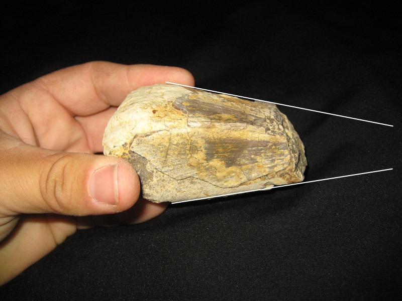
[image]
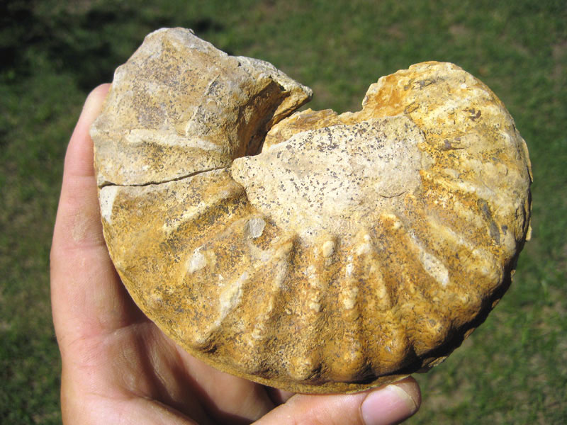
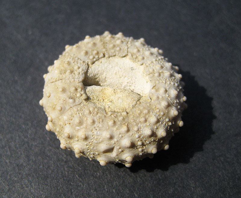
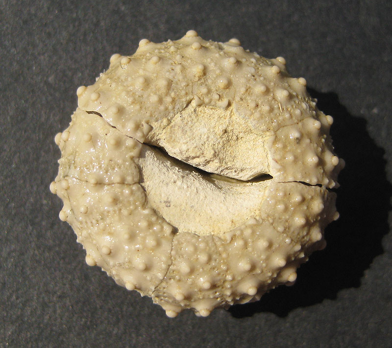
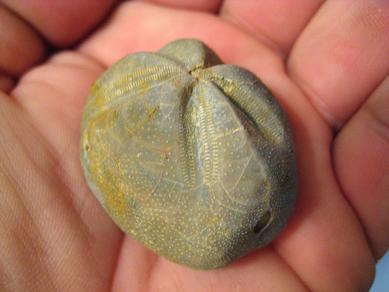
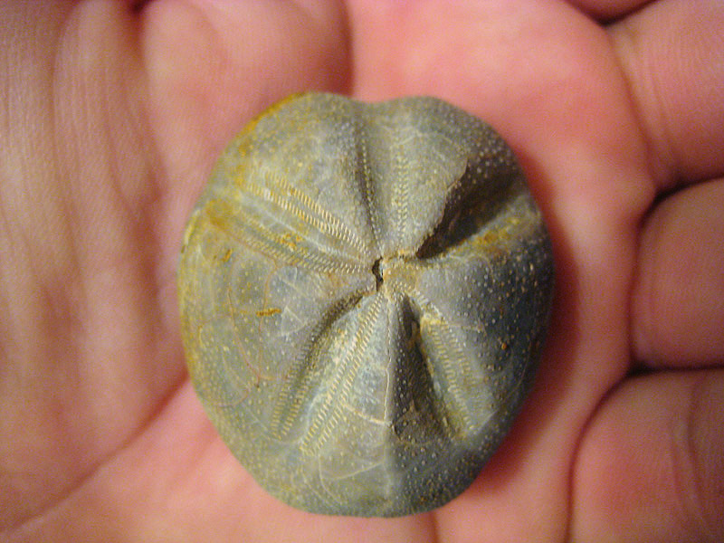
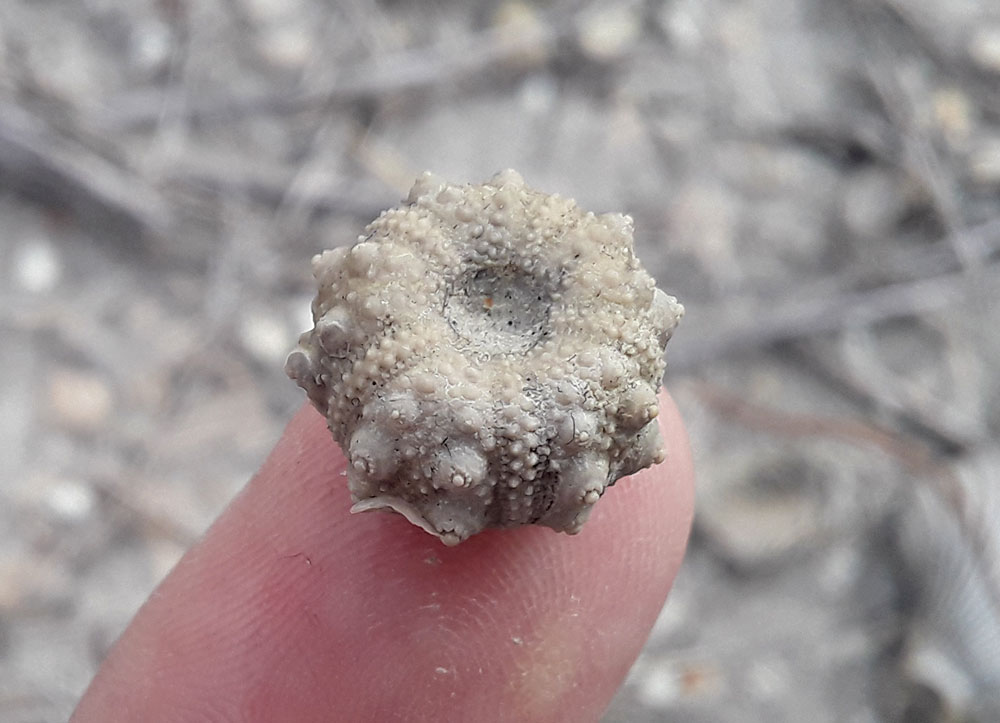
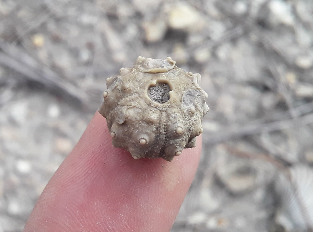
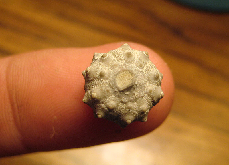
The basal and middle parts contain an abundance of
echinoids (mostly Heteraster), Gryphaea mucronata, pyritized
micromorphs (ammonites, gastropods), and Haplostiche texana in
silicified flags. The top contains the zone of abundance of Exogyra
cartledgei Böse. Excellent exposures are in the Mariposa and
California Mountain district, and on the Reed Plateau south of Terlingua.
In Cibolo Canyon south of Shafter, the Grayson has a thickness of 80 feet,
and consists of clay with some thin ledges of fossiliferous limestone
(1623, p. 39) . The entire outer circumference of the Solitario dome
includes a narrow outcrop of Grayson, about 125 feet thick, forming the
cuesta face of the outwardly-dipping Buda limestone. This formation is a
clay) with a few limy seams, and has the same fossils as at Terlingua.
Near Chispa Summit, western Jeff Davis County, the Grayson is a clay with
considerable nodular or flaggy limestone. In the southern Quitman
Mountains, 300 feet of Grayson has been reported, consisting of
ferruginous, laminated and flaggy calcareous sand, argillaceous limestone
and clay, with Haplostiche texana. In the north-western Eagle
Mountains, near the east end of Devils Ridge, the Grayson with Haplostiche
consists of less than 100 feet of sandy and somewhat marly limestone.
Similar rock occurs in the small hills just southwest of Etholen station.
North of Southern Pacific Railway.--- The Grayson rapidly thins northward,
and disappears in western Pecos County. At a locality a mile north of
Hovey, it is represented by about 5 feet of limy marl with Exogyra
arietina (F. B. Plummer, personal comm.) . A similar situation has
been reported from a locality north of Strobel (J. A. Udden, personal
comm.). It is absent beneath the Buda at the north end of the Davis
Mountains. Likewise at Kent no Grayson has been reported, although thin
limy banks carrying Exogyra arietina and referred to the Main
Street occur here. Farther north there are no records of Grayson.
El Paso section.--- The small ravines at the west end of the tunnel at
Bowen, N. M., contain exposures of about 75 feet of Grayson, which are the
No. 8 beds of Böse's Cerro de Muleros section, containing Exogyra
whitneyi Bose and Hemiaster calvini Clark.
Subsurface extent.--- The Grayson has not been
definitely identified in most parts of the East Texas embayment. A clay at
its stratigraphic position occurs in many wells in Red River, Lamar, and
Fannin counties.
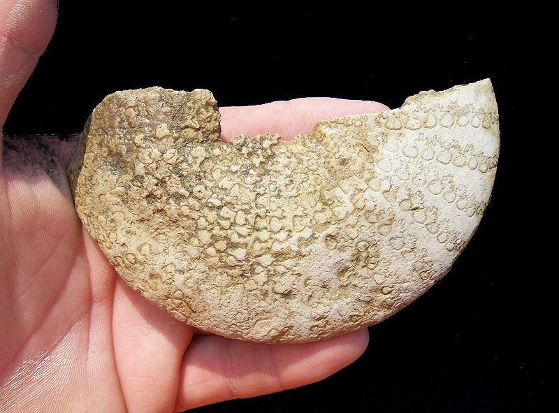
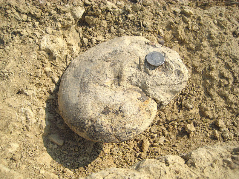
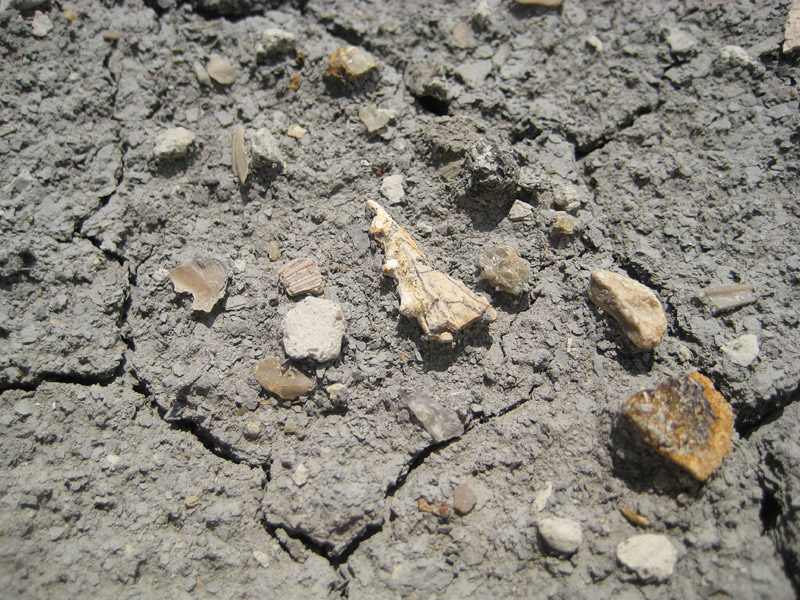
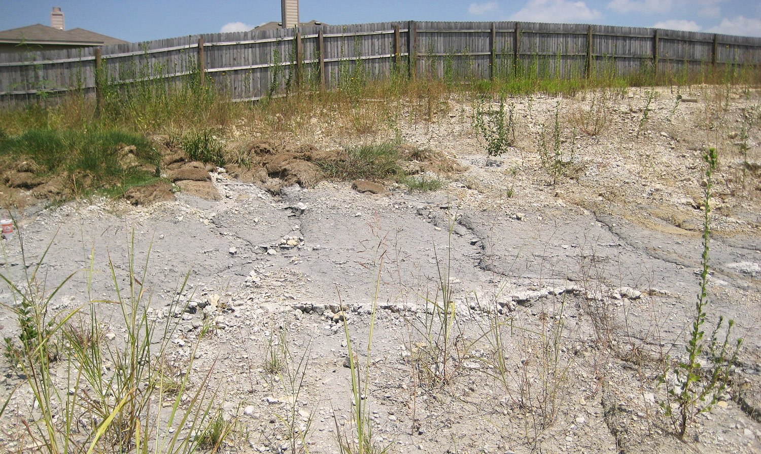
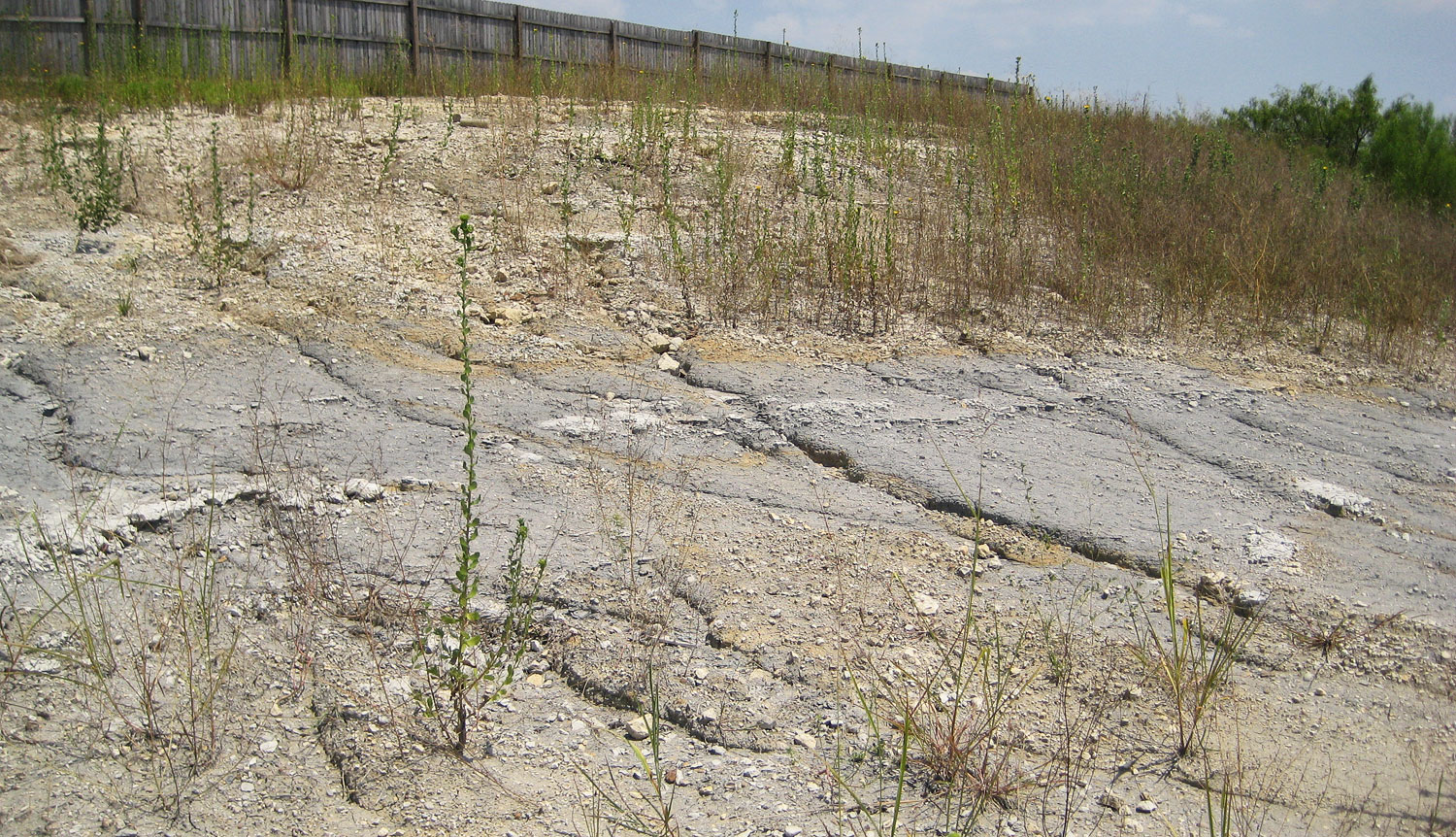
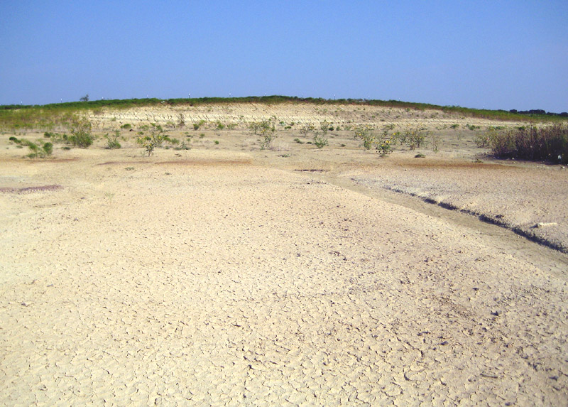
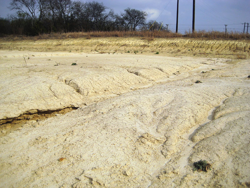
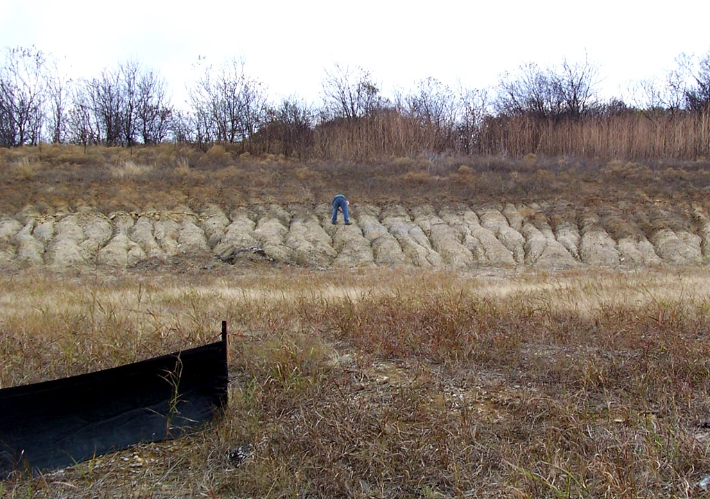
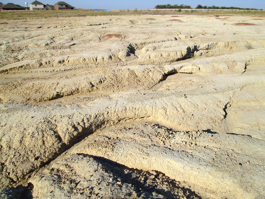
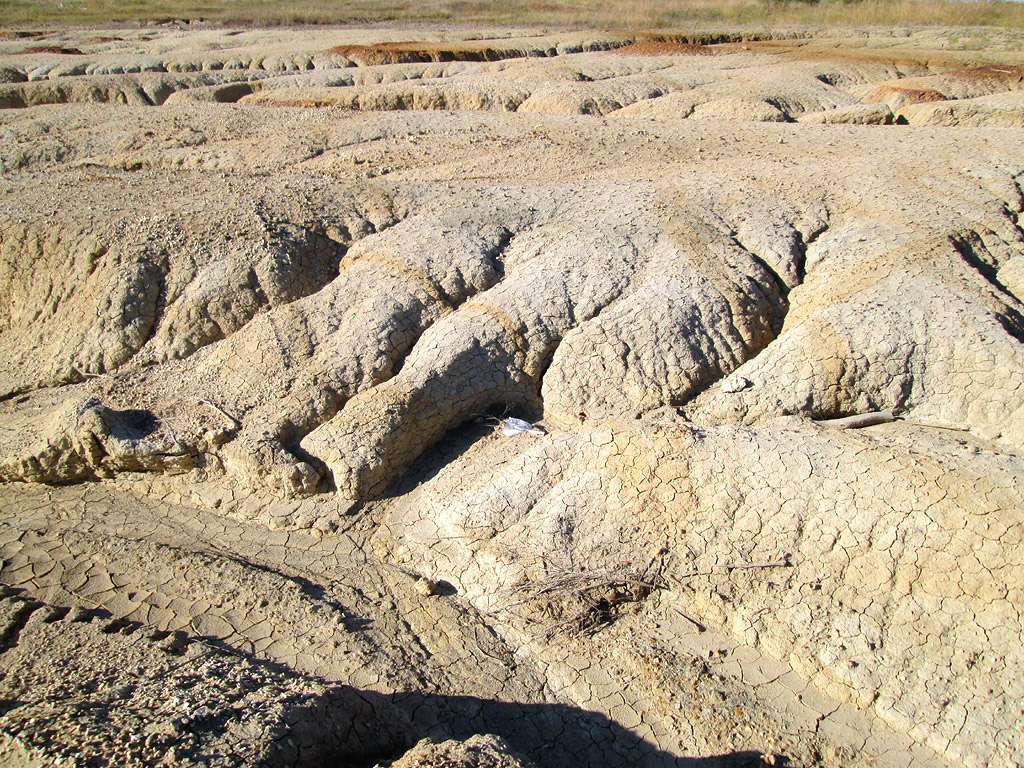
Mode of deposition.--- The Grayson, as a whole, is a marl or clay,
containing oysters and other shells. Its site of deposition was doubt-less
epicontinental and neritic, but at what depth or distance from the shore
is not known.
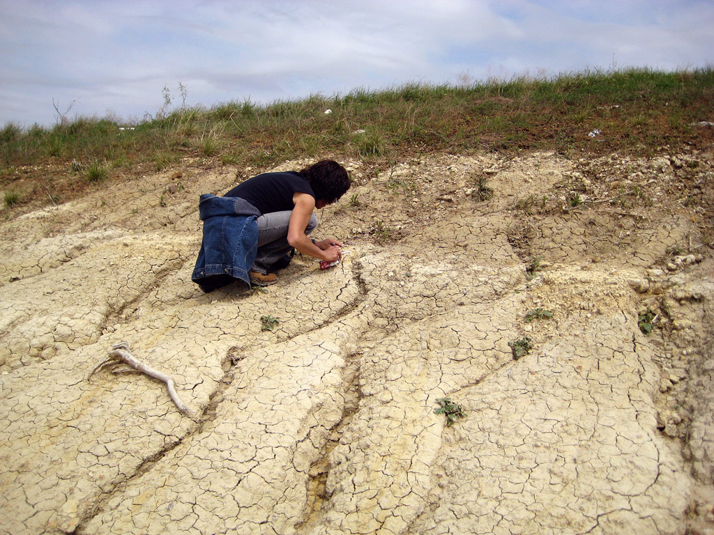
Lithology; microscopic appearance; mineral content. --- The
formation contains gypsum, pyrite, and hydrated oxides of iron. The
uppermost limestones, correlated by Winton and others with the Buda, are
coarse-grained and contain foraminifera and other fossils. The lower
limestones, on microscopic examination, are finer grained and less
fossiliferous (1791, p. 73).
Thickness. --- The following are some reported thicknesses of the
Grayson:
|
Feet |
|
Feet |
|
Oklahoma, Durant
Texas, Anderson Co.
Grayson County
Cooke County
Denton County
Tarrant County
Johnson County
Hill County
McLennan County
Bell County
Williamson County
Travis County
Mexia (969)
Milam County
Luling (165)
Lytton Springs (188)
(267)
Caldwell County (728a)
Salt Flat field (1076)
Darst Creek field
Larremore field (1716a)
Bexar County outcrop
|
50
51
25+
25
82
80+
100
80-100
80
105-114
80-125
80-100
85-100; 55-65
80-100
80
60-100
45-80
50-60
50
52
49
50-70
|
S. W. Bexar County (888)
Medina County
Uvalde County (578)
(1681)
Maverick County (1681)
Rycade wells (578)
Indio ranch (578)
Rock Springs
Val Verde County
Del Rio
Langtry
Dryden
Terrell County
Comstock
Eastern Brewster County
Terlingua
Solitario
Presidio County, Shafter
Sierra Blanca
El Paso
Pecos County, Hovey
|
78
60
75
137
279
260
190
20
200
0
0
40
25
120-180
125
80
75
60
5
|
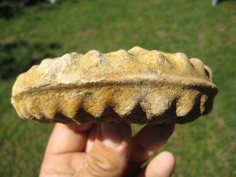
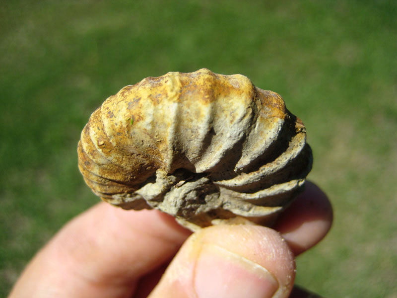
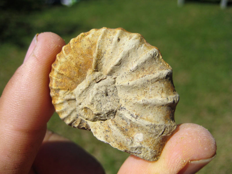
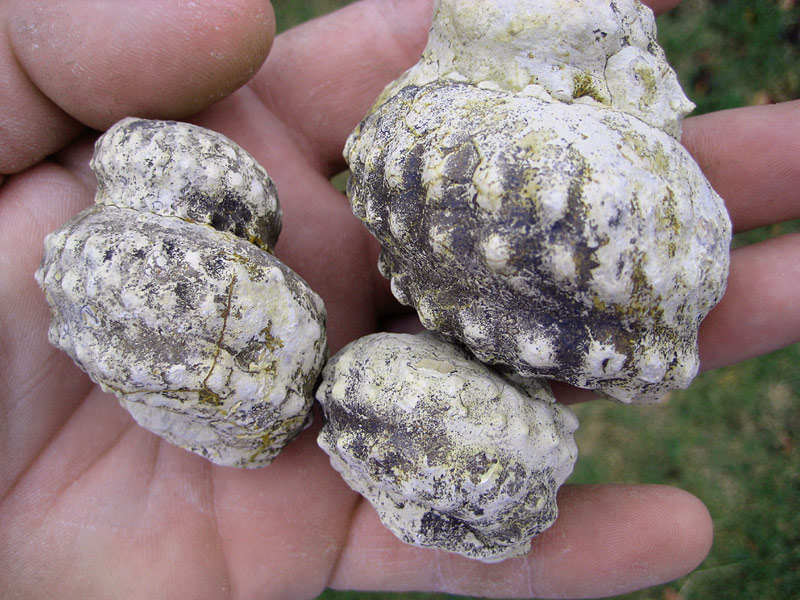
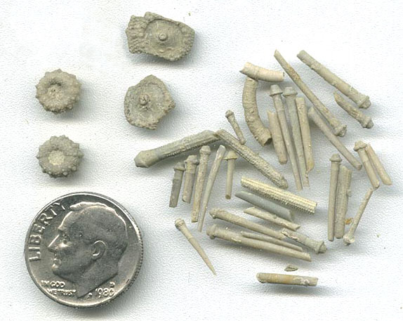
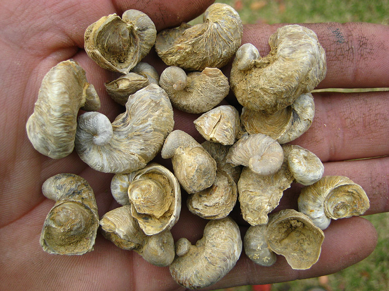
Paleontology. --- Exogyra arietina F. Roemer and
Gryphaea mucronata Gabb are currently stated to characterize the
Grayson (Del Rio). E. arietina is present in much of the Main
Street, and especially in the transition zone at its top, in association
with Kingena wacoensis (Roemer); it is abundant in the lower part
of the Grayson, where G. mucronata is rare; and rare in the upper
Grayson where G. mucronata is abundant. G. mucronata also
occurs in the basal Buda. The Grayson in the southern sections contains
abundant Haplostiche texana, mostly in siliceous flagstones. There
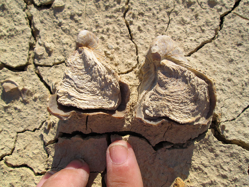
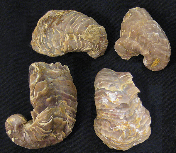
is a notable oyster zone in the Grayson. It comprises Exogyra
cartledgei Bose, Exogyra n. sp. aff. texana Roemer, at
least two new species of large Exogyra (one resembling E. olisiponensis,
and the other smooth), and Exogyra drakei Cragin.
The Grayson contains the highest of five principal Washita zones of
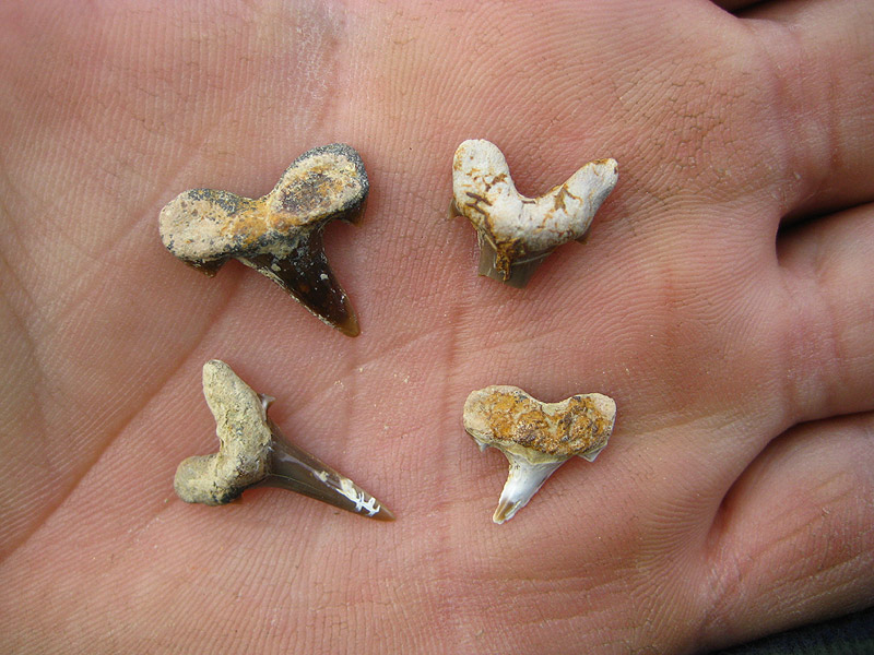
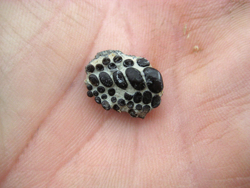
pyritic micromorphs. Its pyritic ammonites are somewhat similar to those
in the Pawpaw, but show greater advancement, especially in the
Mantelliceratidae. Grayson genera are: Scaphites, Hamites, Wintonia,
Baculites, Submantelliceras (Cottreauites), Adkinsia, and several
undescribed forms.
The foraminiferal fauna is distinctive, and includes
the following species, which Mrs. Helen Jeanne Plummer has kindly listed:
|
Dentalinopsis excavata Reuss
Marginulina aequivoca Reuss
Vaginulina recta Reuss
Vaginulina intumescens Reuss
Vaginulina kockii Roemer
Lingulina nodosaria Reuss
Frondicularia denticulocarinata
Chapman
Patellina subcretacea Cushman and
Alexander
Gyrodina nitida (Reuss)
Anomalina falcata Reuss
Anomalina asterigerinoides Plummer
Globigerina bulloides d'Orbigny
|
Globigerina washitensis Carsey
Globorotalia delrioensis Plummer
Pyrulina cylindroides (Roemer)
Cristellaria (Astacolus) washitensis
Carsey
Ramulina globulifera Brady
Gaudryinella delrioensis Plummer
Gaudryina sp. ("filiformis" Carsey)
Textularia washitensis Carsey
Textularia rioensis Carsey
Massalina sp.
Haplostiche texana (Conrad) —
erroneously called "Nodosaria."
|
|
Foraminifera from Grayson (Del Rio) formation
(Grayson Bluff, Denton County; and Shoal Creek, Austin) |
|
Haplostiche texana (Conrad)
Glomospira sp.
Ammobaculites subcretacea Cushman
and Alexander
Textularia rioensis Carsey
Textularia washitensis Carsey
Gaudryina gradata Berthelin
Gaudryinella delrioensis Plummer
Valvulina sp. aff. trochoides (Reuss)
Lenticulina washitensis (Carsey)
Marginulina tenuissima Reuss
Vaginulina intumescens Reuss
Vaginulina recta Reuss
|
Dentalina communis d'Orbigny
Nodosaria obscura Reuss
Lagena sulcata (Walker and Jacob)
Massalina sp.
Giimbelina sp. aff. globif era (Reuss)
Dentalinopsis excavata (Reuss)
Valvulineria asterigerinoides Plummer
Gyroidina nitida (Reuss)
Anomalina falcata (Reuss)
Globigerina washitensis Carsey
Globigerina sp. cf. lacera (Ehrenberg)
Globorotalia delrioensis Plummer
|
The arenaceous foraminifer, "Nodosaria"
texana Conrad, has been variously referred to "a new genus
somewhat like Cribrogenerina" by the present writer (12, p.
47), to Haplostiche by Plummer (1238, p. 124), and to a new genus Cribratina
by Sample (1362a, p. 319). It or closely similar species occurs in
Trinity, Fredericksburg, and Washita formations, and is most abundant in
the Weno in north Texas and in the Grayson in west Texas.
The following are the most characteristic Grayson ostracoda:
Cythereis burlesonensis Alexander
Cythereis roanokensis Alexander
Cytherelloidea obliquirugata (Jones)
Macrocypris graysonensis Alexander (lower Grayson only)
43 "A new genus, to be described in a forthcoming paper.
|