|
The Geology of Texas - Vol. 1
PAWPAW FORMATION
Nomenclature. -- The "Pawpaw shales" or clays were first
named by Hill (788, pp. 303, 328, 330) from the type locality Pawpaw
Creek, starting in the city of Denison and running in a north-northeast
direction to Red River. Here Taff considers the formation, mostly sand, to
be 55 feet thick.
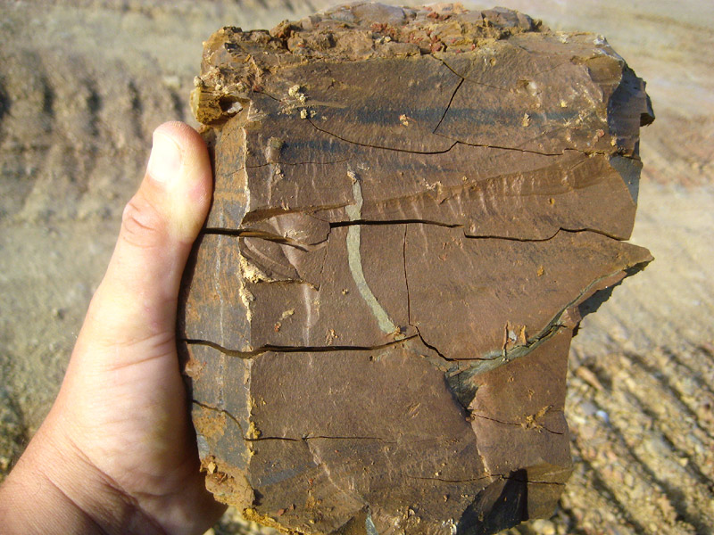
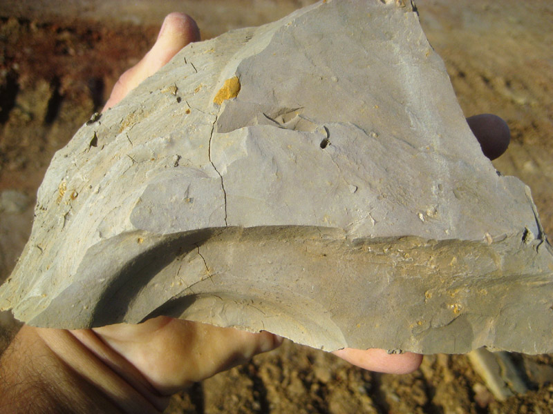
Facies. -- (1) Typically, the Pawpaw is compacted, loosely cemented,
ferruginous, cross-bedded, red-brown sandstone, with sandy clay and
ironstone concretions. This is the marginal facies.
In Cooke and northern Denton counties, the formation consists of
alternating red clay seams and ferruginous red-brown sandstone. (2) In
southern Denton County the Pawpaw becomes more clayey and calcareous, and
the sandstone ledges fewer, thinner, and lighter colored. The ironstones
and jasper-like concretions persist, and in northern Tarrant County
locally cover the surface. Here it is a blackish, partly lustrous clay,
weathering reddish-brown and yellowish. The same lithology persists into
Johnson County. (3) In Hill County the Pawpaw is more marly, having
increased in lime content. Toward the Brazos it consolidates as a marly
layer in the Georgetown. South of Hill County it is unrecognized. From
central Denton to southern Hill County, therefore, it is of the neritic
facies. At El Paso it is a similar, but more sandy, marl.
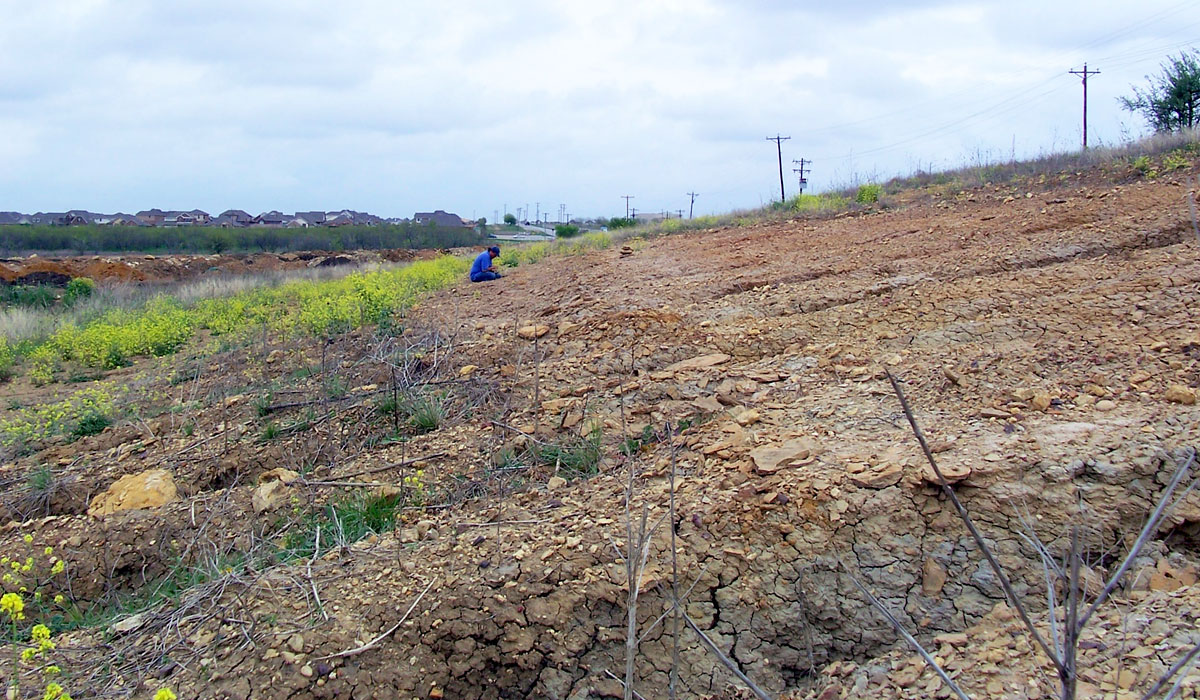
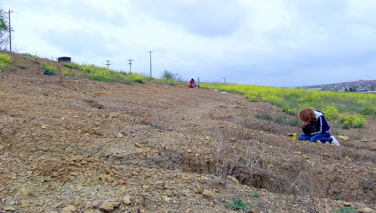
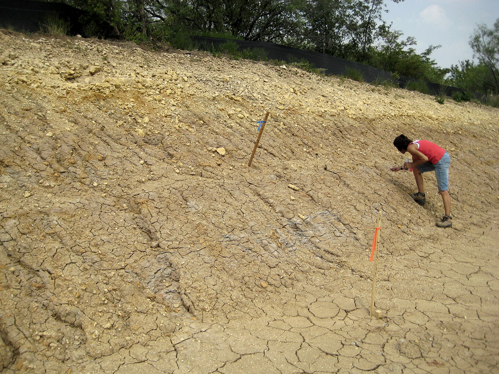
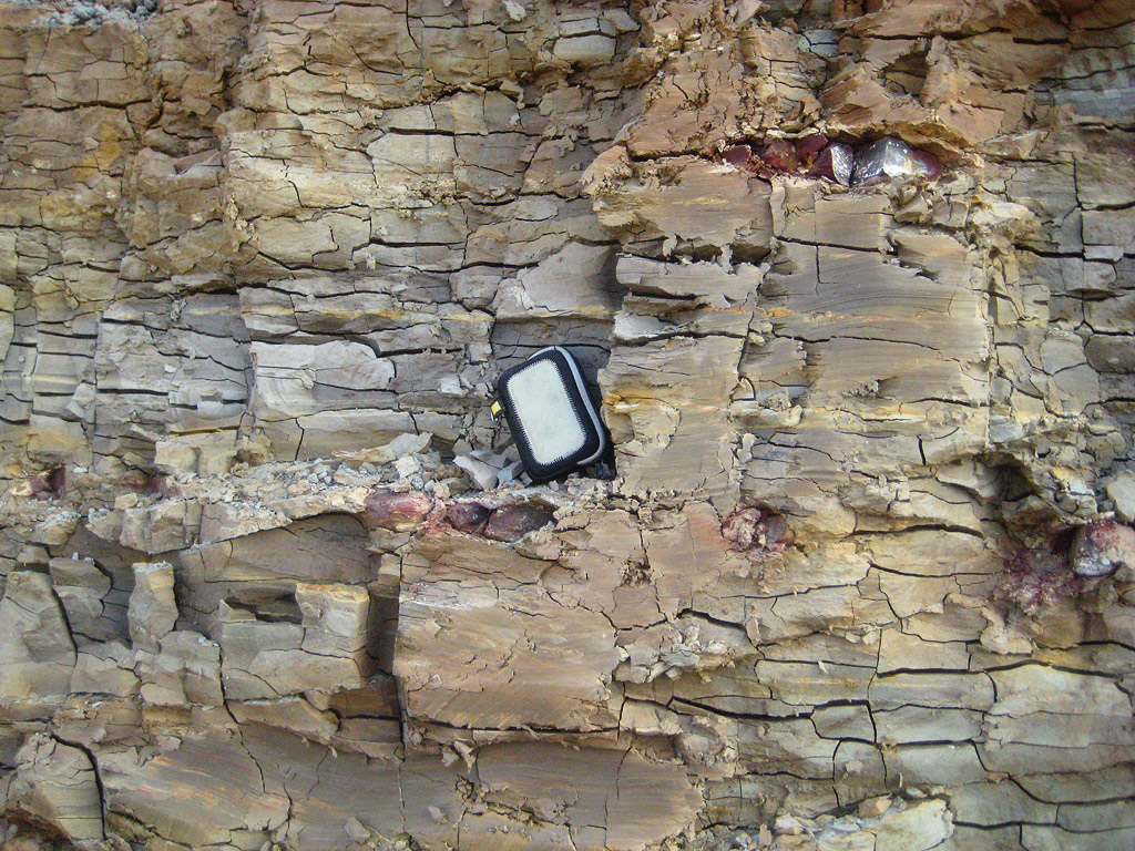
Areal outcrop; local sections. -- In the Red River region, the
Pawpaw is prevailingly sandstone and ferruginous sand, with interbedded
dark-colored shales or clays. At Sugar Loaf Mountain, eastern Bryan
County, Oklahoma (Winton, in 10, p. 28), it is 55.8 feet thick, and
consists of fossiliferous ferruginous or ironstone ledges, alternating
with cross-bedded red sand and sandstone. The fossils are typical Pawpaw
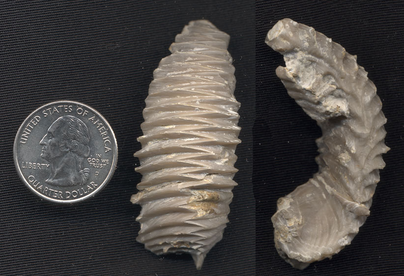
ammonites, Alectryonia quadriplicata, Arca, and the usual
assortment of small pelecypods and gastropods. In a cut near Sulphur
Creek, on the Saint Louis and San Francisco Railway, 2 miles west of
Bennington, beneath Main Street limestone, there is exposed 36 feet of
Pawpaw marls, sands, and sandstone with nacreous and ironstone fossils: Arca,
Nucula, Corbula, Cerithium, Turritella, and Anchura.
North of the railroad, 1� miles east of Bennington, about 50 feet of
massive brown Pawpaw sandstone underlies the Main Street. This sandstone
contains limy layers bearing Alectryonia quadriplicata, A. marcoui,
A. subovata (?), Trigonia, Gryphaea and Pecten.
On the west bluff of Washita River (Bullard, Okla. Geol. Surv., Bull. 39,
page 43), due east of Woodville, 60 feet of Pawpaw consists of a basal
clay with ironstone concretions, and an upper soft yellowish-brown
sandstone containing numerous veins of limonite (174, p. 43). The Pawpaw
contains several thin lenses of highly fossiliferous, ferruginous,
oxidized, soft sandstones similar to those in the Weno, but differing in
containing few Turritella. The Pawpaw weathers to a very sandy,
ferruginous soil, often covered with iron concretions and segregations,
some hills being capped by a limonite residue. The outcrop is a typical
"cross-timbers," like the Woodbine.
In Grayson County, typical Pawpaw is exposed in the cuts on East Main
Street and in the upper part of Pawpaw Creek. In Denison it is a massive,
poorly cemented but firm, veined, cross-bedded, brick-red sandstone. In
the underpass south of the Missouri, Kansas and Texas Railway station, its
contact with the overlying thin, gray Main Street limestone is exposed.
Its thickness is given as 45 to 55 feet by various writers. Calcareous
clay predominates in the lower half of the formation, and sand and
interbedded, laminated sand and clay in the upper half. Stephenson
records, 4 feet above the base of the Pawpaw clay, a limestone stratum 0.5
to 1 foot thick, and sandy limestones are known in the basal Pawpaw
farther north. In an upper sandstone of the Pawpaw, he observed some
comminuted plant fragments. In Big Mineral Creek, 1� miles east of Cedar
Mills, Taff records 40 feet of Pawpaw: basally, 35 feet of blue,
laminated, arenaceous clay marl, containing lenses and nodules of clay
ironstone in disconnected layers, with Pachydiscus and Protocardia;
and at its top, a 5-foot bed with Alectryonia quadriplicata.
On the Pilot Point road east of Gainesville, Hill (803, p. 275) records 35
feet of Pawpaw, laminated, arenaceous, and marly clays, yellow at top,
blue below. On Clear Creek, Denton County, Taff recorded 34 feet, the
basal 9 feet being clay with numerous thin seams of soft sandstone or
laminated, friable, brown sand, the upper 25 feet being marl. This
locality shows the outfingering of the marginal facies southwards. The
formation thins across Denton County: in the northern part it is 50 feet
thick, in the southern part 30 feet.
At Blue Mound, 1� miles south of Haslet, northern Tarrant County, the
Pawpaw is 27.3 feet thick; on Sycamore Creek east of Fort Worth, 24.6
feet; near the Tarrant-Johnson County line, 12 feet. The transitional zone
from the ironstone to the prevailing clay facies occurs in northern
Tarrant County; north of the Trinity there is much ironstone scattered
over the outcrop, the residue of numerous thin ironstone ledges, such as
are very conspicuous on Red River. South of the Trinity, these are reduced
to thin seams or scattered nodules, and blackish clay makes up the bulk of
the formation. From Johnson County southwards, the clay becomes decidedly
marly, in transition to the limy southern section. From Riovista
southwards the Pawpaw is entirely marl, with little clay and no ironstone;
the fauna consists of echinoids in abundance oysters, pelecypods, and
gastropods, and the pyritic micromorph: are entirely missing. On Nolands
River, 10 miles west of Cleburne. the Pawpaw consists of 10.8 feet of
reddish clay containing fragments of pyritized Turrilites and Arca
(Winton, in 10, p. 33). On the Waco road, one mile south of Riovista,
the Pawpaw consist of calcareous yellow marl with a few ironstone and
limestone fragments, and a mixture of the pyritic micromorphs of the
geosynclinal facies (Turrilites, Arca, Pervinquieria, type locality
of Flickia b�sei) and neritic fossils (abundant Heteraster,
Holaster, Washitaster, Hemiaster calvini).
At Fort Stockton and Kent, the Pawpaw, if represented, is sandy marl
in the top of the Weno. At Cerro de Muleros, above the east end of the
tunnel, is black clay with pyritic micromorphs (Neokentroceras,
Pervinquieria), overlain by sandy clays with Alectryonia
quadriplicata and other oysters. The sandy clays are probably Pawpaw;
the lower black clays may be Pawpaw also, but it is just as probable that
they are Weno, and that Neokentroceras, supposedly a Pawpaw marker,
shows only its partial range at other localities where the upper Weno is
limestone and where therefore the facies is unfavorable, and that here,
where a favorable facies occurs in the Weno, its true range is exhibited.
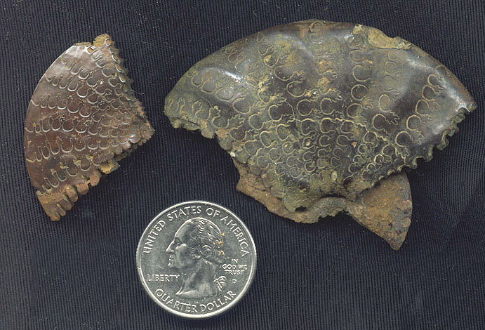
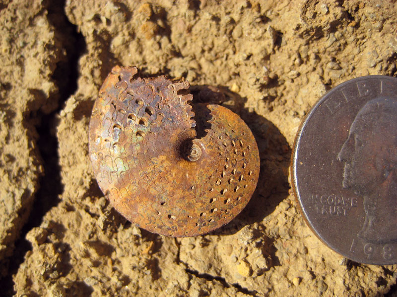
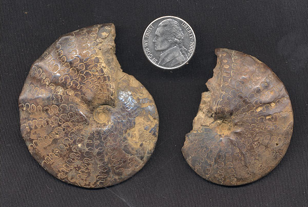
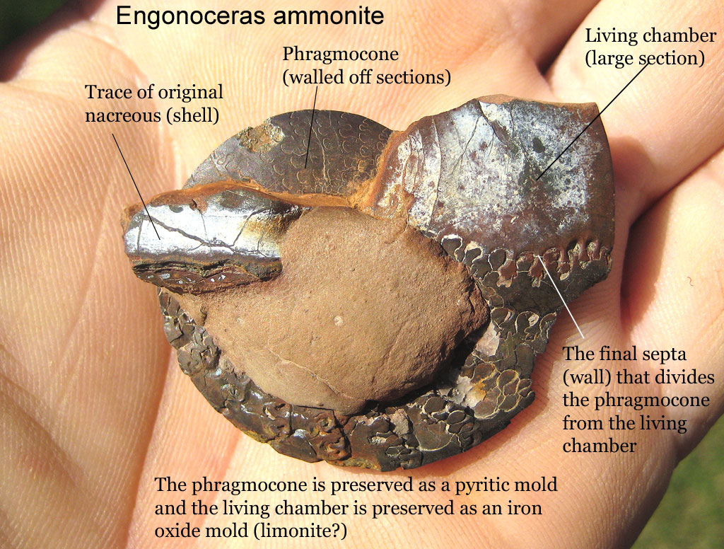
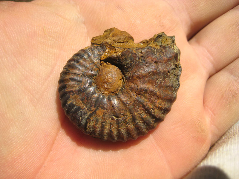
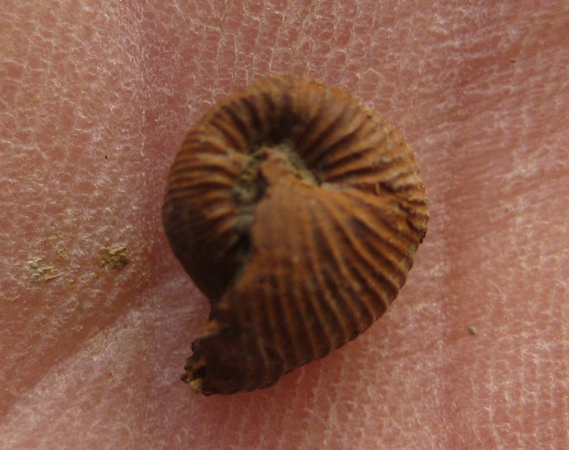
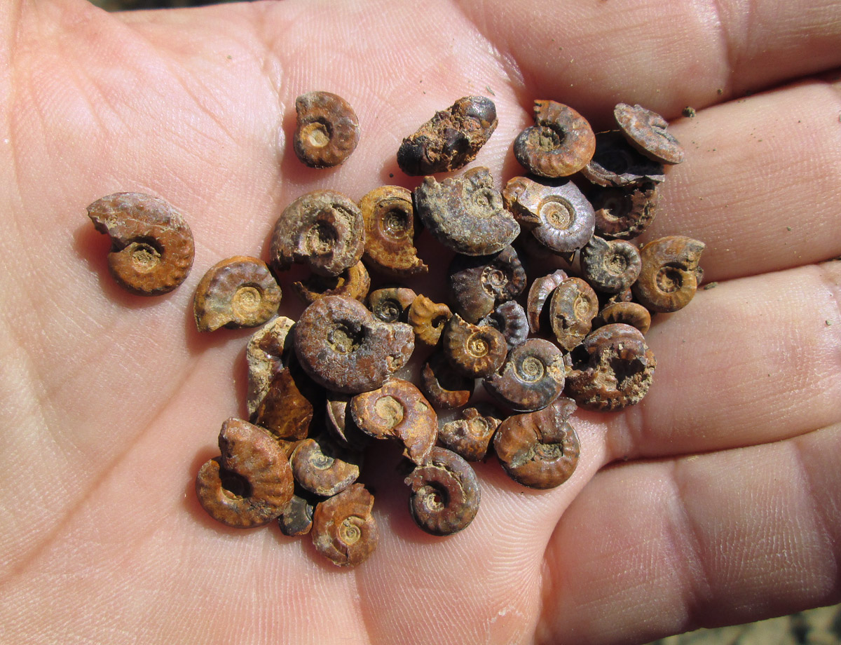
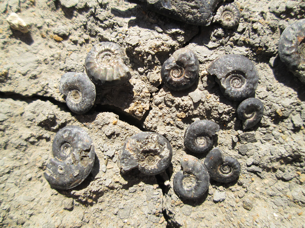
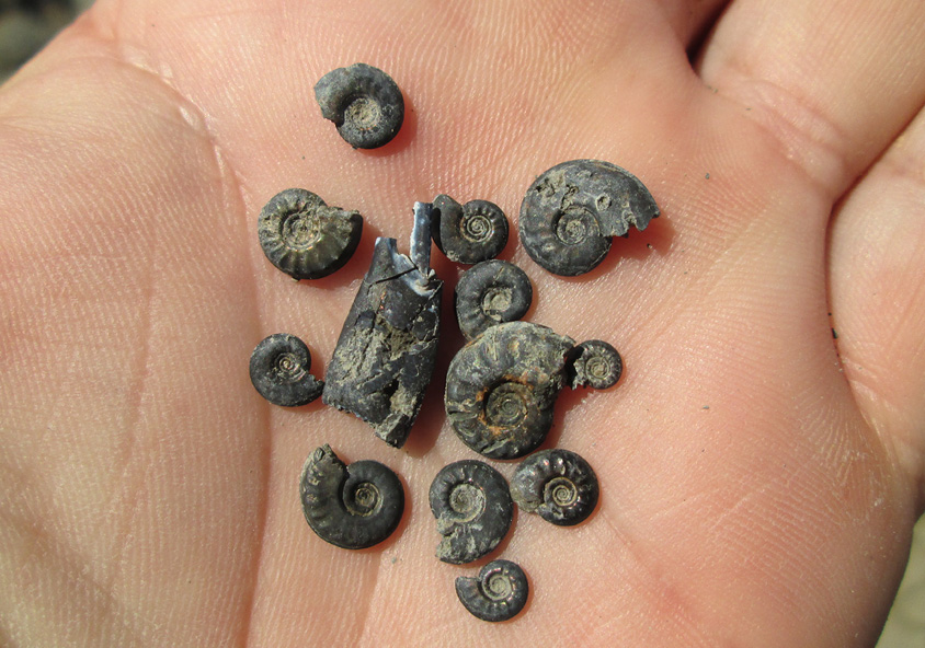
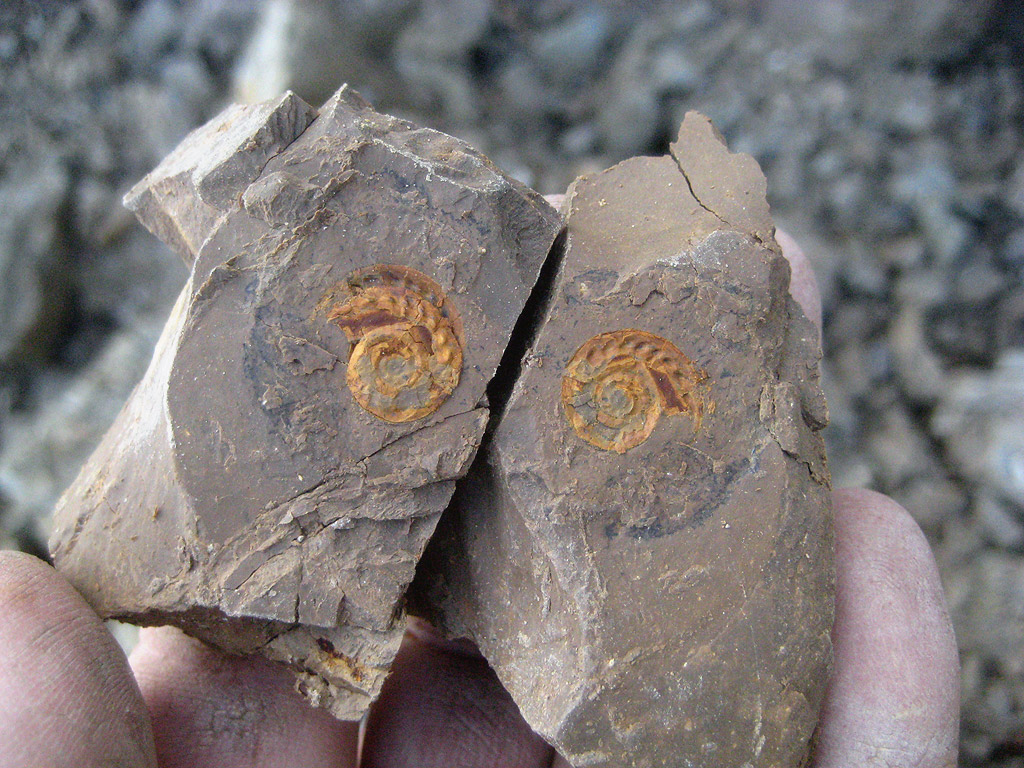
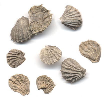
Paleontology. -- The three main facies of the Pawpaw each show a
different aggregation of fossils. In the marl, the usual neritic, type,
most of the fossils are widely ranging upper Washita types, with a
predominance of irregular echinoids. Near Riovista whole nests of these
occur. No good markers have been proven in this fades. In the synclinal
(black clay) facies there occurs one of the four striking interfingerings
of the habitat favorable for pyritic micromorphs which are known in the
Washita group. Therefore, as in the interfingerings of rudistid and
neritic facies, care must be taken to avoid confusion between total range
(given a favorable facies) and partial (local) range. Under these
conditions, no zone markers for the Pawpaw are known, but dilligent and
prolonged collecting has practically demonstrated that some fossils occur
in the Pawpaw and not in the nearby Denton and Grayson pyritic micromorph
zones. The known ranges of these micromorphic ammonites are as follows:
| |
Duck Creek |
Denton |
Pawpaw |
Grayson |
Eagle Ford |
| Wintonia |
- |
- |
- |
+ |
|
| Turrilites |
- |
- |
+ |
+ |
|
| Scaphites |
+ |
|
+ |
+ |
|
| Baculites |
|
|
+ |
+ |
|
| Hamites |
+ |
|
+ |
|
|
| Worthoceras |
+ |
|
+ |
|
|
| aff. Nipponites |
+ |
|
|
|
|
| Submantelliceras |
- |
- |
+ |
+ |
|
| Pervinquieria |
+ |
+ |
+ |
- |
|
| Stoliczkaia |
- |
- |
+ |
- |
|
| Flickia |
- |
- |
+ |
- |
|
| Adkinsia |
- |
- |
- |
+ |
|
| Allocrioceras |
|
|
|
|
+ |
| Metaptychoceras |
|
|
|
|
+ |
| Prionocylus and Priontropis |
|
|
|
|
+ |
The distribution of the pyritic micromorph faunas is significant for
paleogeography: they are sparse in the Red River region, abundant in the
Fort Worth-East Texas embayment (best Pawpaw in Tarrant and Johnson
counties, best Grayson in McLennan and Bell), absent over the Austin high,
and abundant again (facies permitting) in the Rio Grande embayment (as in
the Grayson at Del Rio). They are absent on the Terrell arch, and again
abundant in the Terlingua region, where, off the Quitman-Malone arm of the
Kimmeridge-Valanginian sea, the Comanchean formations thickened
enormously.
Even in the synclinal areas, the usual neritic limestones and marls
interfingered, and their faunas of oysters, echinoids, and molluscs are
present (as in the Pawpaw at Fort Worth).
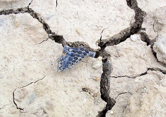
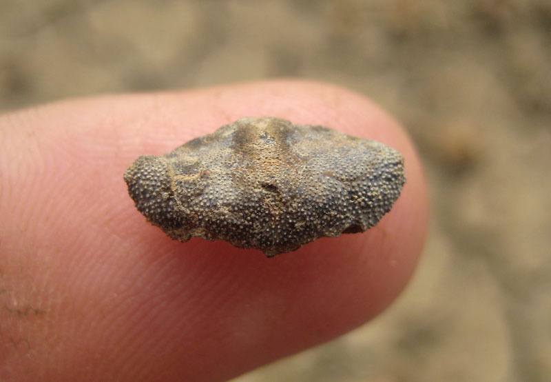
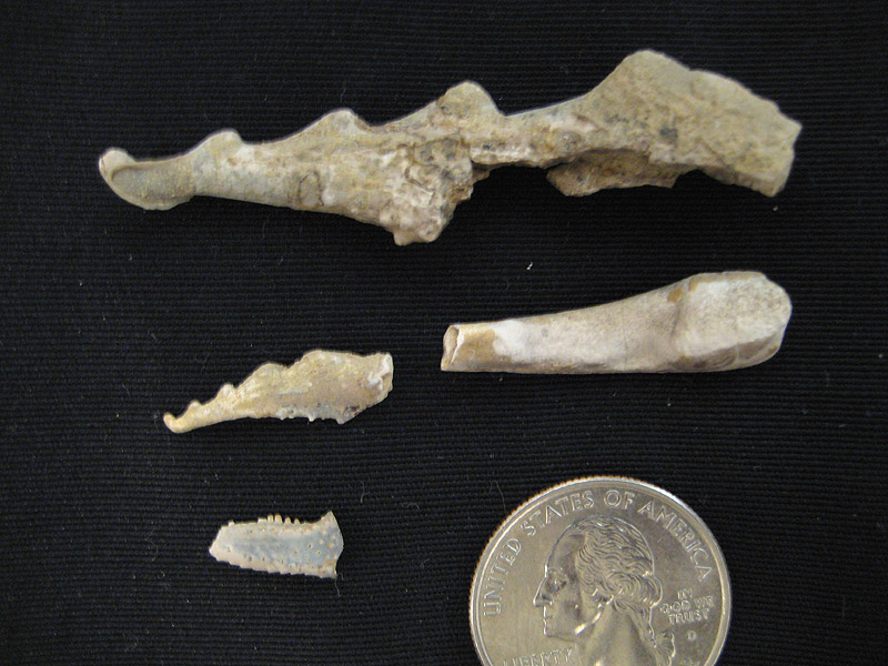
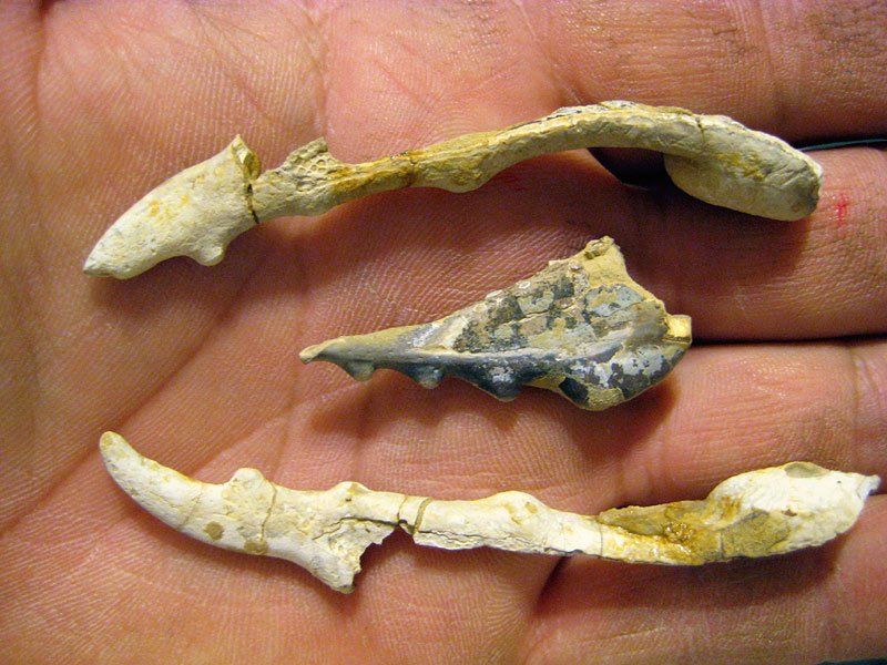
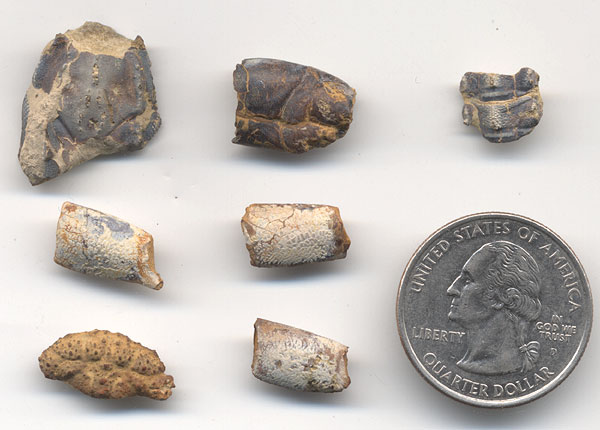
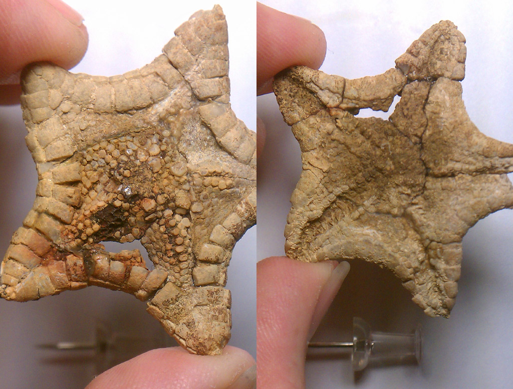
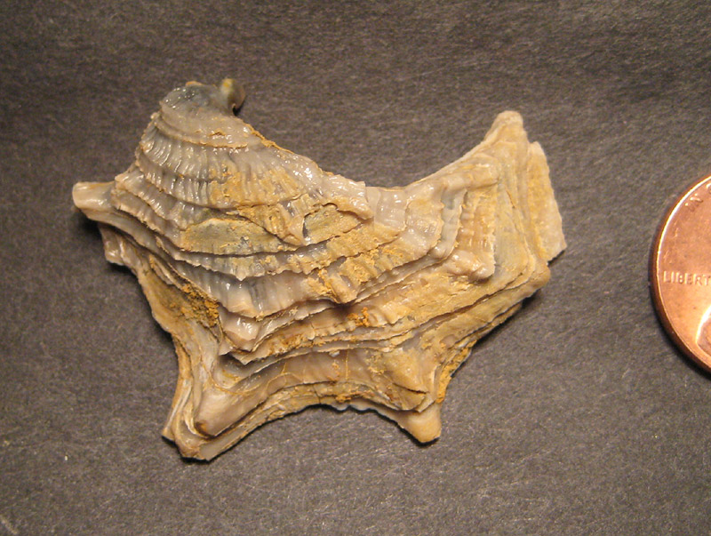
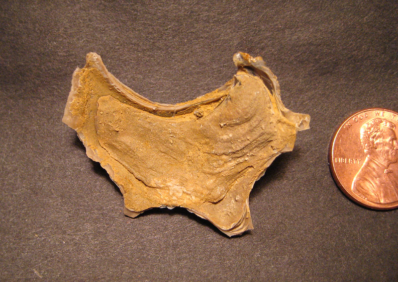
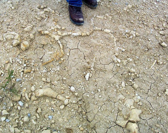
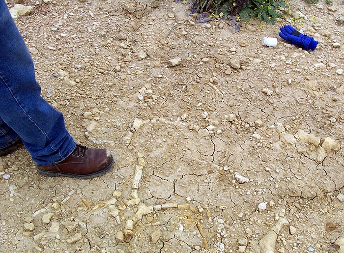
In the Pawpaw, near Fort Worth, at a pyritic fossil locality, several
large vertebrae and ribs of a plesiosaur were found.
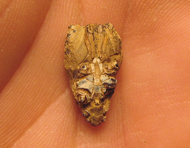
Miss M. J. Rathbun has kindly identified the following Pawpaw crustacea
from the collections of this Bureau:
| Pawpaw formation crustacea: |
|
Macrura (lobsters,
shrimp):
Linaupurus n. sp. 2
Nephrops n. sp.
Ischnodactylus n. sp.
Callianassa n. sp. 1 |
Brachyura (crabs):
Actaea n. sp.
Caloxanthus n. sp.
Fam. Portunidae, n. gen., n. sp.
Fam. Calappidae, n. gen., n. sp.
Necrocarcinus n. sp. 1
Necrocarcinus ? n. sp. 3
Xanthosia n. sp. 2 |
|


 [+]
[+]
 [+]
[+]
![[+]](asteroidea/IMAG0030-1000.jpg)
![[+]](asteroidea/pentaceros1.jpg)